More Details
Legal Notice/Disclaimer
Current Convective Watches
Day 1 Convective Outlook
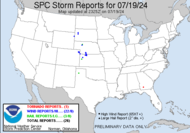
Storm Reports
Regional Radar